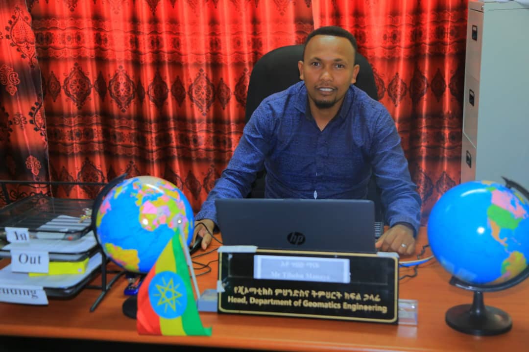
 Short Message of Geomatics/surveying Engineering Department
Welcome to Wachemo University's Department of Geomatics/surveying engineering. Geomatics/surveying engineering is a new information technology discipline in which engineers acquire, model, analyze, and manage spatially referenced information and apply the knowledge generated to a wide variety of functions. It uses terrestrial, marine, airborne, and satellite-based sensors to acquire spatial and other data. It then transforms the data into common information systems such as mapping or global positioning systems (GPS) with well-defined accuracy characteristics. Using satellites and other modern techniques, Geomatics/surveying engineers help airplane pilots to navigate the skies with increased safety; geophysicists to find underground petroleum reservoirs; and rescue teams to locate ships, aircraft, and land vehicles in distress. Geomatics/surveying engineers also monitor environmental problems by remote sensing, align high-precision large industrial machinery, manage computer-based information systems for land inventory and management, and monitor the stability of large structures using highly accurate positioning techniques.
The aim of Geomatics/surveying engineering is; the development and use of various spatial techniques based on modern technology to better understand, plan, organize, monitor and manage the earth we live in, the production of various maps and spatial data / information for the needs of the country (planning, property, defense etc.) and determining precise position (horizontal and vertical) of any kind of space or land related to the earth.
Finally I would like to invite every interested person to join our very interest department. I thank you for
your time. Have a nice reading.